
Teledyne Raymarine Commercial and the UKHO have spent about a year testing S-100 data aboard the Stena Vinga. Andy Murray, Director of Navigation Solutions, explains what the trials have shown so far.
Monday - 19 October 2026
S-100 has been in development for years, and Teledyne Raymarine Commercial is one of the leading ECDIS manufacturers working with it. For Andy, the standard now has to leave the lab: “We need to actually take these systems to sea to get mariner feedback on how they’re actually operating.”
The case for S-100 is practical. Mariners could always get supplementary information onto an ECDIS, but it meant collecting it from paper sources and digital publications and adding it to the ENC by hand. S-100 automates much of that work. The aim is for a bridge team to stop searching through 17 different menus during voyage planning and while the voyage is under way.
The Stena Vinga trial is a real installation. The Teledyne Raymarine Commercial Pathfinder ECDIS is fitted as if it were a type-approved system, with all sensors connected, and runs alongside the vessel’s primary ECDIS.
“We’re not operating this as a trial,” he explains. “We’re not turning up with a laptop, typing in a few numbers and then going away again. It’s really operating as a real installation.”
That setup exposes problems a lab hides. In a simulator, data usually arrives on a shared clock. On a ship, equipment is started and stopped at different times, so data arrives at different intervals. Crews also meet brownouts, flick the wrong breaker, and press buttons to see what they do. As Andy puts it, “No amount of simulator or bench testing can really represent what happens on a vessel.”
The vessel type matters too. A ro-ro ferry shuttling back and forth works differently from a tanker or a cruise ship. Andy wants input from crews with different vessels and backgrounds, so the workflow suits most of the industry and not a small niche.
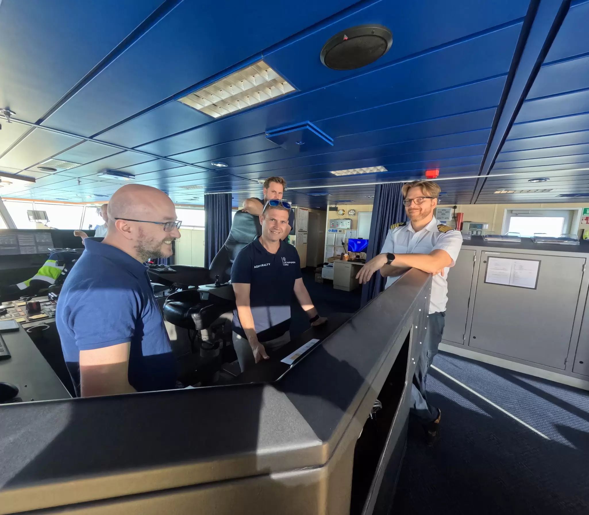
Assembling the data was harder than the team expected. Several hydrographic offices have to produce data in near real time, in the right format, and get it to the vessel in time to be used. It took until the fourth trial before every dataset from every hydrographic office was running on board at once. “There was always something wrong with one of the data sets, and it almost felt like it was never going to happen at one point.”
Satellite connectivity has changed what is possible. Andy remembers sea trials where the team lost contact once out of phone coverage. Now large files can be pushed to the ECDIS close to real time, so the data is fresh when it arrives. He contrasts this with the old cycle: a chart update on Thursday, installation on Friday, and a full support mailbox on Saturday. The same link lets the team send software updates to the vessel faster than they could travel to install them, which shortens the loop between a mariner’s comment and a fix.
Each S-100 layer adds information to a screen that is no bigger than it was ten years ago. Andy is wary of the consequences. “Just layering more information in one place is not necessarily going to solve all of the world’s problems on the bridge of a vessel.”
He also takes a candid view of ECDIS history. “I was told 15 years ago that ECDIS was supposed to reduce the workload on the officer of the watch. I think up until now, ECDIS has increased the workload.” His priority is making sure S-100 does not add to it, through interfaces and dialogues that put information in front of the mariner when it is needed.
The team’s approach is to listen to what crews struggle with, turn that into new interface designs, bring them back on the next trial, and show the crew. Crews can then see the system change in response to their comments. One example is how tides and currents are presented, including how the system shows a discrepancy between sources.
Andy is realistic about the limits. The team designs for the 80% and accepts that some use cases will fall outside its core market. He also warns against copying favourite features from several systems into one. “You would create this Jekyll and Hyde monstrosity that wouldn’t have a seamless workflow across it.” The better route is to find out what problem a mariner is solving and why a feature works for them, then make it fit the whole application.
Andy separates a mariner being able to use a system from a mariner trusting it. Mariners are trained to be conservative and never rely on one source. Suppose a downloaded S-111 current shows seven knots in one direction while the tide book shows four knots the other way. “I’m not going to trust the data because I’ve used the tide book for a number of years.”
An ECDIS that forces a crew to check the paper book anyway adds to the workload. Andy says data producers and distributors, including the UKHO and Teledyne Raymarine Commercial, have to be open about how their data models are validated. “It’s kind of a bit of a dark art at the moment. Nobody really knows what’s going on behind the scenes.”
The approach to St Helier was chosen to test this. Andy called it a very challenging entrance, and a good place to judge water level adjustment, which he says adds most value in constricted waters and less when zoomed out to a couple of hundred miles. He planned to check whether the data resolution gives a bridge team any benefit when berthing, and whether the water level figures match what the vessel’s echo sounders and onboard sensors report. His own view going in was that the resolution may not yet be what vessels need.
The work continues beyond this trial. “Today is not a one and done.” Confidence in the data models has to be built over the remaining trials, and the direct access to data producers lets the team report back to bodies such as the IHO on which presentation ideas work and which do not.
He sees connectivity changing voyage planning too. Connected systems make it possible to use products such as route networks, and to prepare a voyage plan largely ashore and send it to the vessel with any updates. Planning becomes a shared task between ship and shore and not a stack of paperwork for the second officer.
His goal is a simpler bridge. “With S-100, we need to make sure that if there is a critical navigation decision to be made, they’re able to do it from one screen.”

